
As you might guess, the various tribes of Native Americans living on and around the trail were less than pleased. Wikipedia continues: "Bozeman led the first group of about 2,000 settlers on the trail in 1864. Indian raids on white settlers increased dramatically from 1864 to 1866, which prompted the U.S. government to order the Army to carry out military campaigns against the Shoshone.

After years of conflict and several dozen deaths on the trail, the army eventually removed their forts, closed the trail, and recognized the Native American rights to the Powder River Country. An era of relative peace ensued. But this uneasy peace lasted only until General Custer's expedition found gold in the Black Hills of Montana and thousands of miners poured into the area in the mid 1870s. The most memorable battle in this renewed conflict came in 1876 when General Custer and 262 members of the 7th Calvary were massacred at the Little Bighorn just a few miles from the old Bozeman Trail.

As you so often find in history, transportation corridors can be found throughout the United States. A transportation corridor begins hundreds, even thousands of years ago with rivers and streams. On the banks of those rivers and streams wild animals establish migration trails that are then adopted by Native Americans as they travel to and from areas of trade, hunting, and even warfare. Later, as the fauna and Native peoples are pushed out, explorers and settlers adopt the rivers, streams, and trails as their principal trade and immigration routes. Still later military expeditions, canals, wagon roads, and railroads utilize these same well-worn paths between distinct geographic settled areas. Finally, in modern times, automobile roads absorb and broaden the age-old transportation corridors.

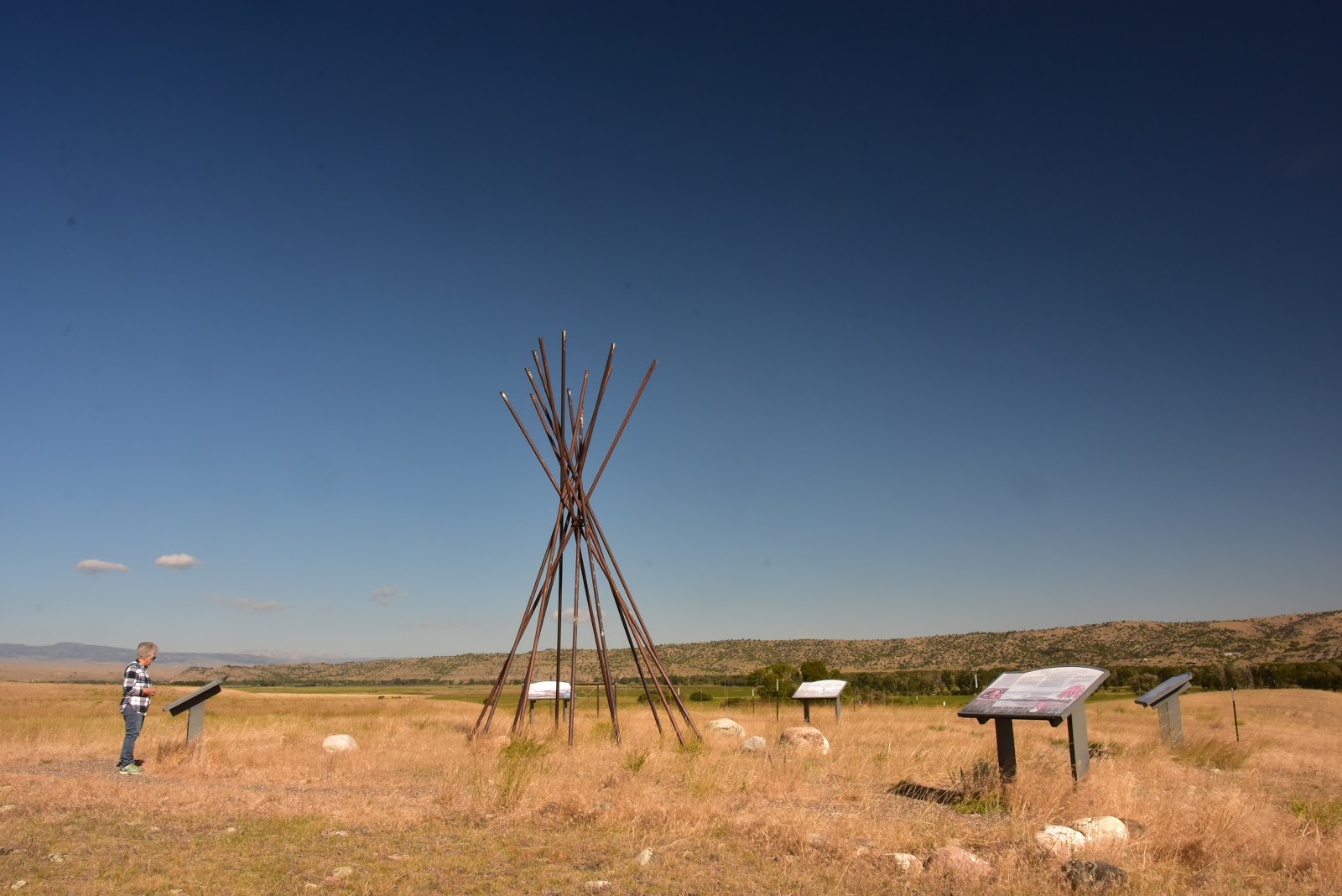
Our main destination today was the Custer Battlefield located on Interstate Route 90 Between Billings and Gerryowen, Montana. Though we've been to the site before, we found ourselves so enthralled back on our first visit in 2013 that we decided it deserved another look-see by the Happy Wanderers. Concetta especially was impressed by the Native American volunteer who narrated the story of the events that led up to the battle as well as the culmination of Custer's rash attempt to beat several thousand Sioux and Cheyenne warriors with a vastly smaller force.
This time, unfortunately, our events narrator was not a Native American and was not quite as accomplished as our last had been. But he gave it a good try. Speaking for myself, I'm always interested in the reading and research material that is available for sale in the gift shop. Though I am far from an authority on General Custer, I have recently read the two books, "Custer's Trials" and "The Glory Hunter" which do not seek to glorify the General, but to really explore his character thoroughly. But if you wanted to know about the the man or the battle or who he was facing on that fateful June day in 1876, you could do no better than visit the battlefield gift shop. There you'll find literally dozens of tomes on every single aspect of the battle and its participants. Personally, I bypassed all the traditional books on the battle and instead chose a nice large book on the equipment that Custer's men carried into battle. I was lucky to get it as it was the only one left.

Right now we're sitting back in the shade of an old cottonwood tree, sipping a nice cocktail and sampling some equally nice cheeses and meats, and waiting for the day to finally cool off so we can ease into a relaxing dinner. We've managed to find a really nice campsite just a half dozen miles down Interstate 90 from the Custer battlefield.

So from southern Montana, the Happy Wanderers bid you exciting travels and rewarding destinations as you take to the highways of America and explore our rich heritage. There's nothing like it anywhere!

No comments:
Post a Comment